
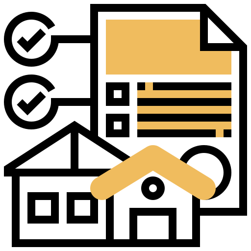
Real estate and land expertise
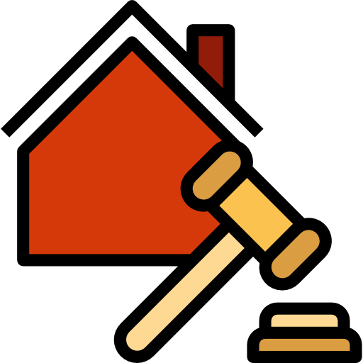
Judicial expertise

Subdivision and coownership

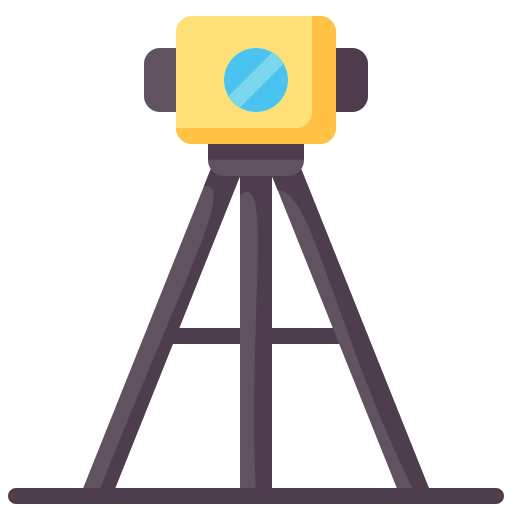
Precision Topometry and Metrology

Geodesy

Bathymetry
Lasergrammetry (3D scanner)

Georeferencing
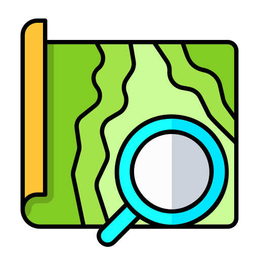
Cartography
Drone
The drone is a necessary tool for aerial exploration.
BUT Topographie has access to advanced exploration and aerial mapping tools if needed, via its partner GEOARCH, a subsidiary of the BUT Group specializing in photogrammetry and drones.
Odometers and Topometers
Tools for measuring horizontal surfaces.
The topometer is a measuring instrument used in topography to measure horizontal distances or lengths of land using a principle similar to that of a measuring wheel. This instrument is also called odometer or decameter.
Station Totale
The main tool of modern surveying
The total station is a topographic measuring instrument used to carry out land surveys and plans. This modern tool makes it possible to measure distances, angles and heights with great precision and speed. The total station can be used for a wide variety of applications, such as building roads, building, mapping, creating survey plans and many more.
Théodolite
Optical measuring instrument
The Theodolite is an optical measuring instrument used in topography to measure horizontal and vertical angles with great precision. It consists of a tripod, a horizontal and a vertical circle both graduated and a telescope.
The theodolite is used to measure angles between points on the ground, allowing surveyors to calculate distances, heights and angles to create topographic plans and maps. It is also used to measure the height of buildings, trees and other objects.