

Our Services
Topography
We ensure your topographical work in compliance with technical constraints.Vois plus »
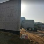
VRD layout
From project design and planning stage to final delivery.
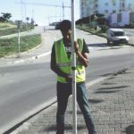
Land surveys
Land control is the preliminary phase for any development project.Vois plus »

Co-Ownership
The real estate developer has the obligation to establish a co-ownership regulation by the care of a Chartered Surveyor Engineer.Vois plus »
We are committed to provide the best service to our customers
From the beginning, we invested in technology.
BUT Topography invested in cutting-edge technological processes right from the start, implementing modern methodologies and adopting the most advanced techniques.
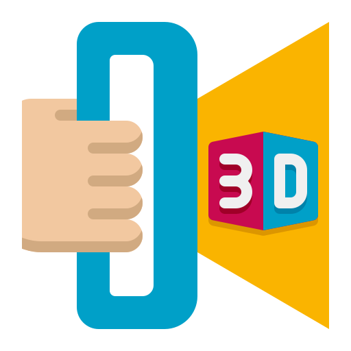
Scanner 3D
The 3D Scanner can identify all types of scenes and structures in the form of georeferenced, dense and precise X, Y and Z point clouds.
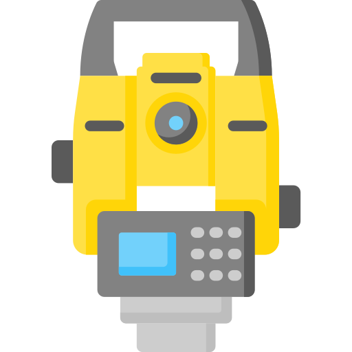
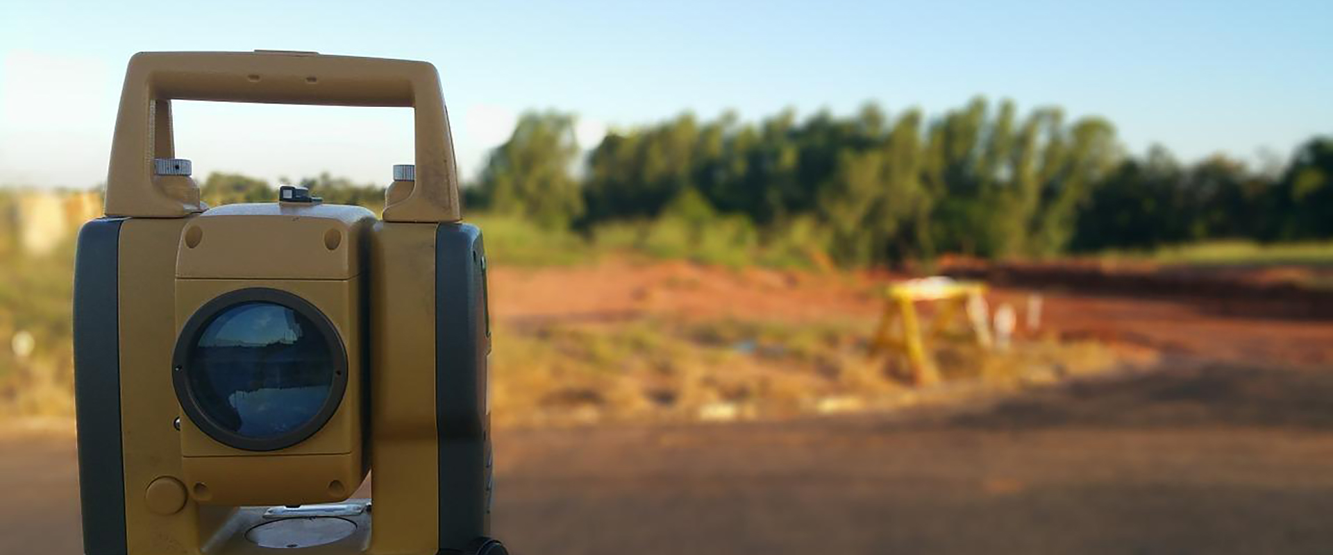
Station Totale
The Station Totale is an electronic/optical instrument used for measuring distances and angles in the fields of topography and construction.
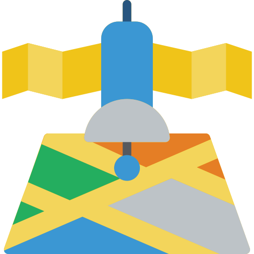
GPS Topo
Topographic GPS is a recent technology enabling precise measurement and marking of points and distances, facilitating spatial control.